
Walk a Smyrna Street
A reliable Smyrna street search begins with one complete address. Cobb County splits the work among mapping, appraisal, and recorded-document systems. The first pass identifies the parcel and indexed owner. The next pass follows adjoining parcels and the deed chain. Voter records and old directories may add names, but neither is a full household list.
- Enter only the house number and street in the Cobb GIS Property Search. Leave out apartment, city, state, and ZIP.
- Save the PIN, land district, land lot, and jurisdiction. Open the assessor report and compare the situs with the owner's mailing address.
- Use Cobb's ArcGIS maps to inspect adjoining parcels one at a time.
- Take the owner name or deed citation to the clerk's index. Match legal descriptions and subdivision details, not merely names.
- For past householders, consult an address-order city directory. Seek voter-list access only through the lawful elections channel.
A parcel card identifies a taxpayer. A deed identifies parties to a transfer. A directory may identify a listed householder. Keeping those facts separate prevents a street directory result from claiming more than its sources prove.
Save a short citation at each step: the parcel ID, the date viewed, and the deed book/page or filing number. That record makes it possible to retrace a Smyrna result after an assessment roll changes. When two people share a name, compare the legal description and the transfer sequence before accepting a deed. For an adjoining property, begin again from its parcel rather than assuming the same subdivision label proves a link.
Smyrna Street Record Coverage
Address-keyed sources answer different questions along a Smyrna street. The parcel number is the best bridge between map and assessor, while the legal description is safer for older deeds. Street spelling helps discovery, but names can change and should not replace stable land identifiers.
| Smyrna source | Keeper | Street evidence | Access route |
|---|---|---|---|
| Parcel appraisal | Cobb Tax Assessors | Owner, situs and mailing addresses, values, exemptions, deed references | Free qPublic search |
| Address geography | Cobb GIS | PIN, jurisdiction, land district and lot, precinct, schools | Free exact-address search |
| Deeds and plats | Cobb Superior Court Clerk | Grantor, grantee, book/page, CFN, legal description | Web index, terminal, deed room, mail |
| Permits and zoning | Smyrna Community Development | Applicant, contractor, address, dated work | OpenGov or records request |
| Directory street guides | Local libraries and DLG | Householders in selected historical editions | Free scans or library shelf |
My Voter Page is a self-lookup requiring a first initial, last name, Cobb County, and full birth date. It is not a street browser. Public voter lists use authorized purchase or open-record channels, with protected VoteSafe addresses withheld.
Each access channel also has a fallback. If qPublic is unavailable, the Board of Tax Assessors is the custodian of the appraisal roll. If the deed image is behind an account or payment step, use the courthouse terminal or order a copy from the clerk. When OpenGov does not expose an older permit, ask Smyrna for a defined address, record type, and date range under the Georgia Open Records Act. An agency must provide records or a written response about access, exemptions, cost, and timing within three business days, but that period does not promise completion of a large request.
Search Smyrna Addresses Precisely
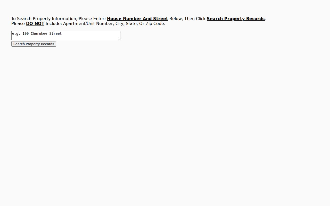
The Cobb address tool asks for a house number and street and directs users to omit the unit, city, state, and ZIP. The result can provide PIN, land district and lot, tax district, jurisdiction, voting precinct, school assignments, and links to the assessor report and plat research. These fields establish geography, not a complete occupant list.
| Control | Use |
|---|---|
| House Number | Enter the numeric address for one property. |
| Street | Enter the street without apartment or locality details. |
| Search Property Records | Open the matching geography and linked parcel information. |
The official Cobb search screen shows this compact input.
Browse Smyrna Parcels Nearby
Cobb address search handles one house at a time. For a by-street scan, open the mapped result and inspect the parcel beside it, then open each property report. Smyrna GIS adds city-limit, ward, zoning, garbage-day, and parcel context. Cobb GIS adds county districts, service areas, and the PIN needed for the tax roll.
The Cobb GIS parcel viewer provides the visual bridge between adjoining parcels.
Postal Smyrna extends beyond the city. Both 30080 and 30082 cover broader mailing areas, so confirm municipal jurisdiction before requesting a Smyrna permit file.
A parcel-by-parcel scan works best in a simple log. Note the street number, PIN, indexed owner, mailing-address difference, and deed reference for each lot, then mark which fact came from which office. Corner parcels need special care because a tax card may use the side street while a directory uses the front door address. Condominiums also require unit-level review; the lightweight Cobb form tells users to omit a unit, so the first map result may lead to a larger parent parcel before qPublic reveals the relevant ownership record. Vacant parcels and common areas can appear between homes without a resident name. Do not skip them, since they explain breaks in the numbering and prevent a nearby owner's name from being attached to the wrong tract. Where the map and a postal address conflict, save the PIN and legal land description before moving forward. Those identifiers make the Smyrna street directory trail reproducible even if a road label or mailing convention later changes.
Follow Smyrna Deeds by Street
The Cobb Superior Court Clerk's inquiry offers Name, Book and Page, Instrument Type, Land Description, Cross Reference, Street Name, and CFN modes. A CFN is a clerk filing number. Street hits start the search; subdivision, lot, land lot, and the deed's legal description confirm the parcel.
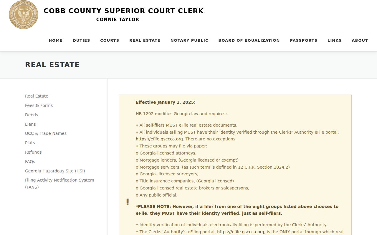
The Cobb real-estate records page explains the clerk's channels.
The deed room is at 10 East Park Square, Building C, Marietta. Published weekday hours are 8:30 a.m. to 5 p.m., with counters closing at 4:30 p.m. Call 770-528-1328. Courthouse terminals and older books remain important when a web cutoff or image fee blocks access.
Use Smyrna Filing Numbers
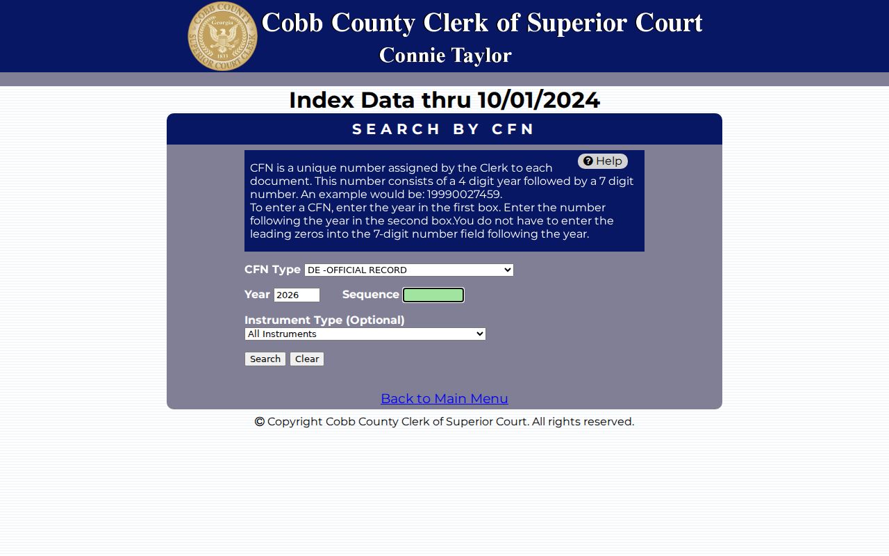
A book/page citation or CFN can cut through common names. The Cobb CFN search divides a filing number into a four-digit year and seven-digit sequence. Its example is 19990027459, and leading zeros in the sequence may be omitted. Instrument type can narrow the match.
GSCCCA includes every Georgia county from at least January 1, 1999, with older data added over time. The Cobb clerk remains the source for certified copies, old books, and indexing corrections.
The broader GSCCCA index supports county, party, instrument type, date, subdivision, unit, block, lot, and book/page searches. Premium address and map modes may require an account. At a courthouse terminal, the same recorded trail can often be reviewed without a web subscription. For a Smyrna street directory project, start with the local Cobb interface because it adds Street Name and Land Description modes, then use the statewide system when a party owned land in more than one Georgia county.
Smyrna Street Permit Clues
Smyrna Community Development moved permitting, licensing, and zoning applications online in April 2022 and ended in-person submissions. OpenGov may expose an applicant, contractor, business, address, and dated work, but the applicant is not necessarily a resident. Historic material not visible online may require a focused open-records request.
The Building Division is at 3180 Atlanta Road SE, phone 678-631-5387. The Smyrna OpenGov portal has Search, Apply, and account controls. Public browsing varies by service.
Note: Smyrna Planning and Zoning handles addressing and plats, useful when a street label and legal parcel identity do not align.
Smyrna Streets Before Digital Maps
Historical address-order directories add a household layer that deeds lack. The 1966 Marietta/Smyrna volume includes a street-and-avenue guide. Later reverse sections put house numbers in order beneath each street. Inspect the page image because OCR, machine-read text, may misread a name or number.
The Smyrna city directory collections identify verified editions and explain their keys. A directory is dated evidence, not a census. Unlisted phones, late moves, minors, and publication gaps can leave people out.
- Parcel
- A mapped tract identified by a parcel number or PIN.
- Situs address
- The physical taxable location, not the owner's mailing destination.
- Plat
- A recorded drawing of lots, boundaries, roads, and easements.
- Criss-cross directory
- An address-order volume that leads from street and number to a listed householder.
Smyrna Street Directory Limits
No Smyrna street directory built from public records can name every renter, roommate, minor, or mail recipient. DMV addresses are protected, utility customer lists are not household rolls, and VoteSafe may shield a qualifying voter's home address. Exemptions can support owner occupancy but do not prove who else lives there.
Commercial people-finder data may be stale or combine similar names. Official records are narrower, yet each has a custodian, date, and purpose. Verify any claim with the office that created it before contact or publication.
Lawful use. Use Smyrna address records for legitimate personal research. Never use street or resident information to stalk, harass, threaten, or intimidate anyone.
A search focused on one named person belongs in the Smyrna resident lookup. The same proof and privacy limits still apply.
Record the date of every search and keep a brief source note. Assessment, permit, and voter information changes, while a scanned directory remains tied to its stated edition year and publisher.